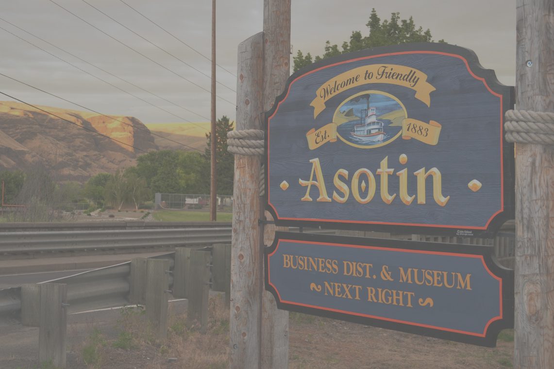
Having a payload to launch and a balloon to launch it with is all fine and good, but it’s not worth much if you have no way to recover your payload. We plan on being able to track our project using GPS trackers. We will hopefully be able to see the path it took and more importantly be able to find it once it lands. We can target an area with a fair amount of confidence using online path projection, but that won’t help us find a six inch wide box in the middle of the Anatone Flat. Last week we did one of our first long range tests of our tracking device. Two of our members drove to the top of the lewiston hill to try to get a line of sight to asotin from miles away. After turning the receiver on we got our results: nothing. We tried again, closer, from a neighborhood at the top of Crichfield road. Still nothing. Then, driving back, the car with the transmitter passed the car with the receiver and we got a connection. Just for a second, but it was there. The code for the tracker has been revamped, and it’s now receiving data with more consistency. There’s only one thing left to do: test it again.


